Hiking Adventures
 Hiking

Blue River Reservoir
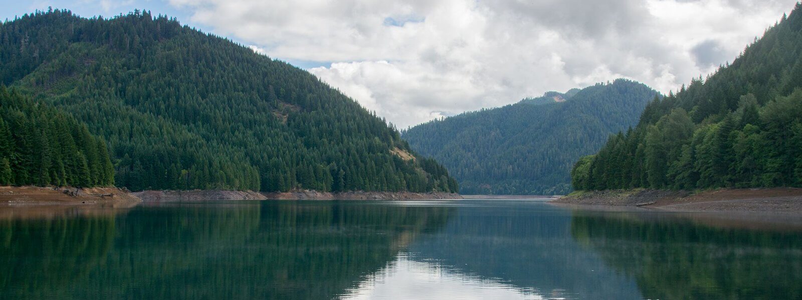
In the summer months, Blue River Reservoir is a popular place for fishing, boating, swimming, waterskiing and stand-up paddle boarding. Enter from the east side off E Hwy 126 to Blue River Reservoir Rd. There are two main campgrounds, Lookout Campground and Mona Campground. Two boat launches, Lookout and Saddle Dam. The reservoir is 6.4 miles long and when full, has a surface area of 1,420 acres. The dam is 1,265 feet long and 270 feet high. In the winter months, the reservoir is primarily used as storage for floodwaters.

Tamolitch Falls
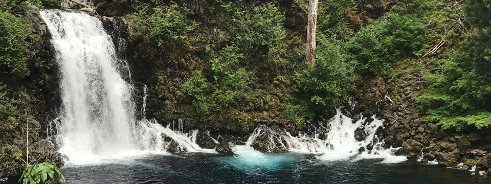
The beauty of Tamolitch Falls (also known as Blue Pool) has always made it a popular spot. The Northwest Indians named this cliff-rimmed basin “Tamolitch,” which means “bucket.” Recreation Trail from Trail Bridge Reservoir north along the McKenzie River. The stunningly clear Blue water of the pool draw hundreds of hikers, photographers and mountain bikers.
![MRT_KoosahFalls-crops[1]](https://www.mckenziechamber.com/app/uploads/2020/06/MRT_KoosahFalls-crops1.jpeg)
Sahalie and Koosah Falls
Sahalie Falls and Koosah Falls are located along the McKenzie Pass-Santiam Pass and West Cascades National Scenic Byways off Highway 126.
The Waterfalls Loop Trail, part of the McKenzie River National Recreation Trail, connects the two waterfalls and offers up close views of the wild McKenzie River.
These falls mark the terminus of two thick flows of basaltic andesite lava that dammed Clear Lake and moved into the McKenzie River 3,000 years ago. The results are two breathtaking waterfalls with foaming white water cascading between the two falls.
Sahalie (“Heaven”) and Koosah (“Sky”) are Chinook Jargon words – part of a rudimentary trade language that allowed people to exchange news and goods in the area. The Kalapuya, Molalla, Sahaptain and Chinook peoples traveled and traded here, perhaps on their way to obtain obsidian in the high Cascades or to gather huckleberries.

South Fork McKenzie River Trailhead
Beginning at South Fork Trailhead, South Fork McKenzie Trail #3327 heads northwest into the Three Sisters Wilderness, passing through thick Douglas Fir Forest, swamps and meadows before leveling out. The trail continues through open Douglas Fir Forest before ending at Frissell Crossing Trail #3320. The trailhead provides access to: South Fork McKenzie Trail #3327, Elk Creek Trail #3510, Olallie Trail #3529, and Frissell Crossing Trail #3320.
![unnamed-1[1]](https://www.mckenziechamber.com/app/uploads/2020/06/unnamed-11-scaled.jpg)
Dee Wright Observatory
Located in the Cascade Range at 5,187 feet, this mountain observatory offers panoramic views across 65 square miles of black lava rock that looks so much like a moonscape that in 1964, NASA conducted drills with astronauts as they prepared to travel to the moon. Completed in 1935 by the Civilian Conservation Corps (CCC), the observatory was named in memory of Dee Wright, the crew’s foreman who passed away the year before.
On a clear day, you can view Mt. Washington, Mt. Jefferson, the South, North, and Middle Sister, and even see Mt. Hood, 78.5 miles to the north. If the snow has melted, don’t forget to look for the glaciers! Collier glacier on the North Sister is the largest glacier in Oregon.

